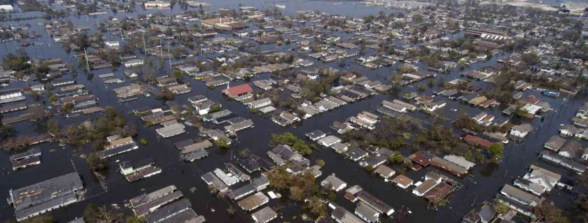
The looming impacts of climate change are increasingly raising questions about the future of Miami‘s real estate, particularly from residents who wonder what will happen to their property as the sea level rises.
Seeing a need for a user-friendly, visual platform where property owners can see what might happen to their land and how they can deal with future problems, Miami is receiving a $100,000 grant to develop a new tool the city hopes will help the average resident understand the risks and options for dealing with rising waters.
The city was awarded the money from Bloomberg Philanthropies’ Mayors Challenge, which grants dollars to cities to solve complex urban problems. In Miami‘s case, city officials want to wrangle various data sets together to create a prototype for an interactive tool that would allow property owners to understand their risks in the coming decades and see what different mitigation strategies might look like.
The city has a lofty goal of integrating data from different sources — sea rise projections, rainfall numbers, tidal measurements, analyzed alongside economic factors and effects of upgraded infrastructure — to construct a platform that can be shared freely with anyone. According to the grant application, Miami‘s administration hopes to build a platform that can be used across the region.
“We have the most assets at risk to storm and sea level rise related flooding than any other metropolitan area in the world,” reads Miami’s grant application. “However, our residents do not havea clear understanding of the risks related to sea level rise, particularly as it relates to their specific property, how they can mitigate those risks over time, and how to stay informed and engaged on city land use, code and infrastructure planning that may also mitigate those risks.”
Jane Gilbert, Miami‘s chief resilience officer, told the Miami Herald the goal is to provide the average person meaningful information in an easy-to-use format.
“The idea is as the city upgrades its infrastructure, it wants to inform residents and to help them think about what they can do and how they can prepare for sea level rise,” Gilbert said.
The private sector has already broached this territory through services that sell information and individualized assessments to property owners, but the city’s ambitions are broader. Gilbert and Michael Sarasti, chief innovation officer, envision a tool that would include projected economic impacts of sea rise, from changing real estate values to disappearing jobs, and a way to visualize the impact of pending legislation.
The $100,000 grant is meant to fund a prototype platform that can serve as the basis for a larger grant application later this year to complete development. For that larger, multimillion-dollar grant, Sarasti said Miami was encouraged to partner with Miami Beach, which received its own $100,000 Bloomberg grant in February for a similar project.
The Beach is working on a prototype that will focus on integrating meteorological and tidal predictions to reduce risks to people and property. Later this year, both cities plan to combine their efforts to vie for more dollars to develop a highly sophisticated program that will aid governments and private citizens in making decisions on how to prepare for sea level rise.
Source: Miami Herald


